A GIS poster showcase of Fletcher student work is currently on display in Ginn Library. Every year, students enrolled in geographic information systems (GIS) courses spend time meeting with faculty and GIS specialists in the in the Data Lab to learn the ArcGIS application. As a final project, each student produces a poster which visualizes a research topic of their choosing; these posters are then displayed in the annual Tufts University GIS Poster Expo.
The eight posters currently on display in Ginn are the work of Fletcher students who participated in the spring 2017 semester DHP207 GIS for International Applications course which explores global issues through the analysis of spatial data.
- Alysha Tierney ('17) focused on the issue of extremist violence to highlight geographic patterns and distributions of hate crimes in America.
- Paroma Husain used a bivariate choropleth analysis to explore the connection between financial and economic development in Africa.
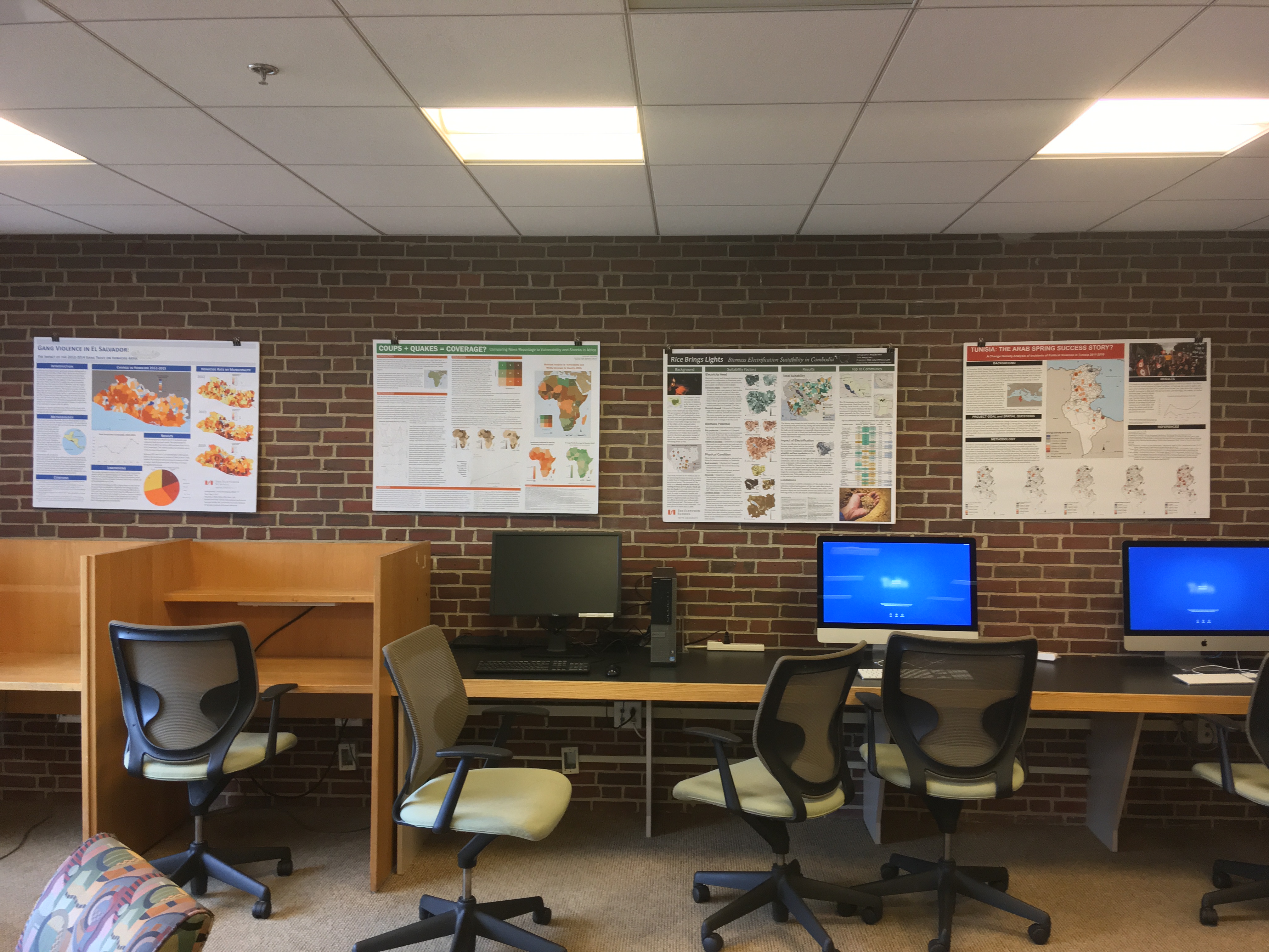
- Ashley Doliber ('17) examined media coverage of crisis issues in Africa. Her poster "Coups + Quakes=Coverage" utilizes data from the Global Data on Events, Location and Tone database.
- Cassie Henriquez worked on issues related to homicides in El Salvador exploring frequencies and locations across the country.
- Mayuko Hirai's poster "Rice Brings Light", explored the conditions for creating biomass plants in Cambodia to use rice husks to produce electricity.
- Julio Rivera Alejo's ('17) poster analyzes environmental data to track "Sea level Rise in Liberia."
- Samuel Bollier explores the refugee crisis through an analysis of data on refugees seeking asylum in Germany.
- Drew Keneally provides a geospatial analysis of political violence in Tunisia and the results of the Arab Spring.
Displaying student work is one way that Ginn Library lets members of our community know that we value their work and that sharing it with the broader community is important.